Scroll to zoom, click for slideshow
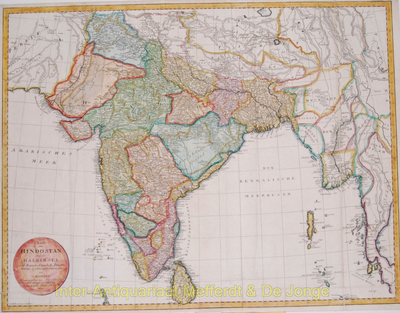
Indien antike Landkarte 1804
Mannert
€ 350
Inter-Antiquariaat Mefferdt & De Jonge
Sind Sie daran interessiert, dieses Kunstwerk zu kaufen?
Related artworks
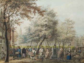
Unbekannter Künstler
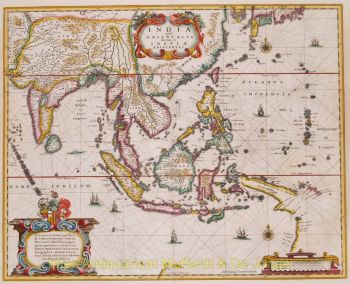
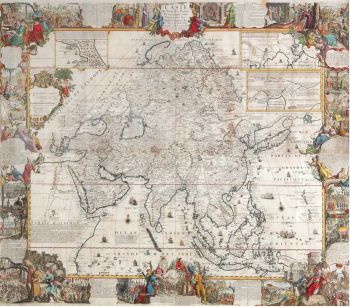
A large wall map of Asia by Nicolas de Fer 1647 - 1720
Preis auf AnfrageZebregs & Röell - Fine Art - Antiques