Scroll to zoom, click for slideshow
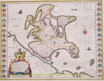
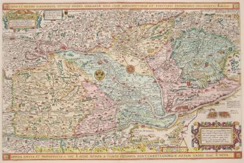
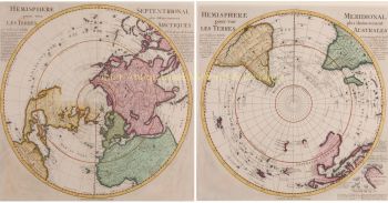
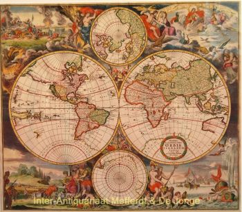
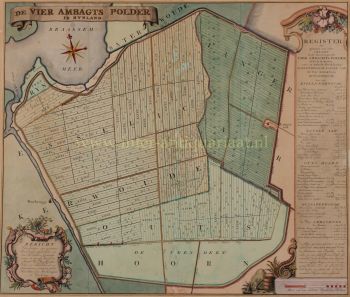
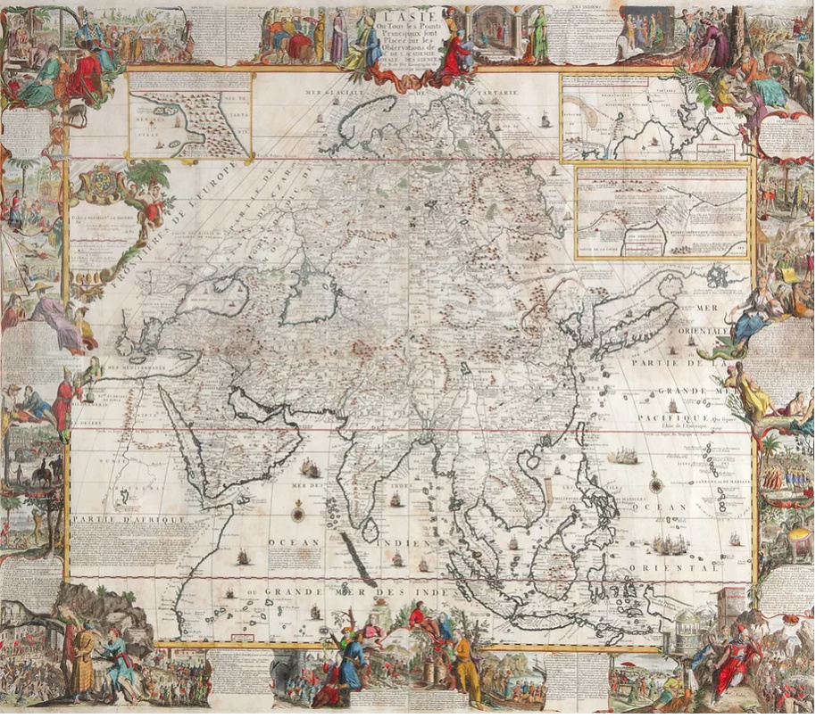
A large wall map of Asia by Nicolas de Fer 1647 - 1720
Artista Sconosciuto
92 ⨯ 117 cm
Prezzo su richiesta
Zebregs & Röell - Fine Art - Antiques
Sei interessato ad acquistare questa opera d'arte?
Related artworks


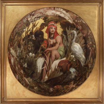
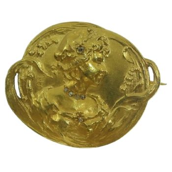
Eduard Charlemont
‘Allegories of Africa and America’1872
Prezzo su richiestaZebregs & Röell - Fine Art - Antiques


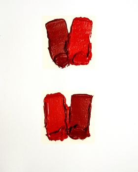
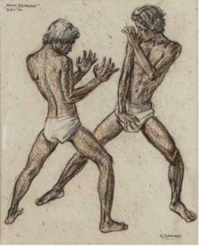
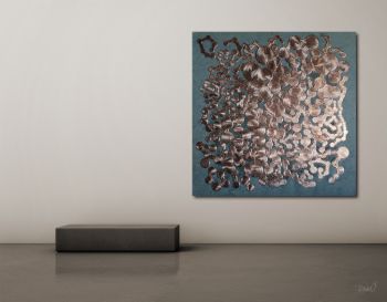
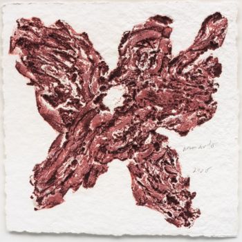
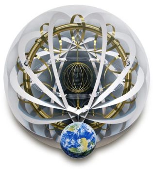
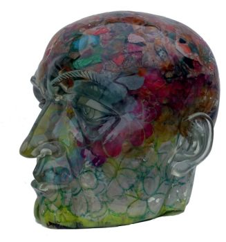
Rene Rietmeyer
"Netherlands, Amsterdam, March 2002"2001
Prezzo su richiestaEuropean Cultural Centre Collection


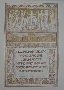
Antonie Derkinderen
Memory book Exhibition of Dutch Painting1892
Prezzo su richiestaKunsthandel Pygmalion

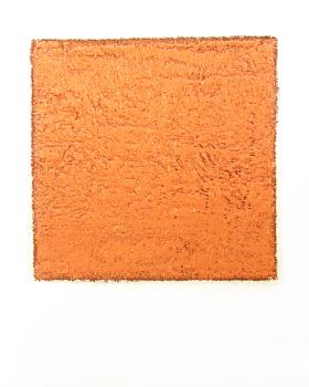


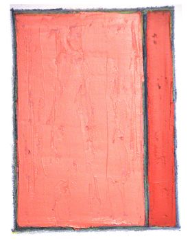
Rene Rietmeyer
TOKYO - Kudan House - January 2021 #022021
Prezzo su richiestaEuropean Cultural Centre Collection
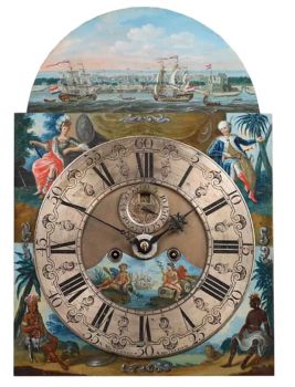
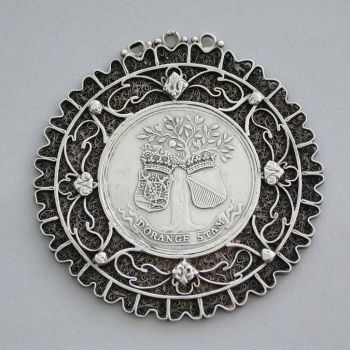
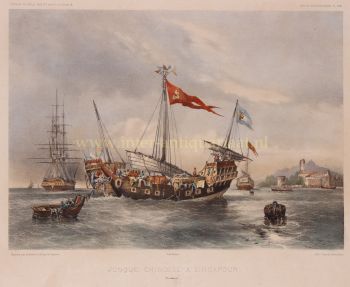
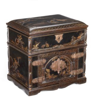
Artista Sconosciuto
A Surinam-themed Amsterdam long-case clock1746 - 1756
Prezzo su richiestaZebregs & Röell - Fine Art - Antiques

Hubert Vos
Ritratto di un punjabi nell'India britannica1898
Prezzo su richiestaZebregs & Röell - Fine Art - Antiques