China  by Covens and Mortier
Scroll to zoom, click for slideshow

China 1695

Covens and Mortier

EncrerPapier
46 ⨯ 59 cm
€ 1.450

Inter-Antiquariaat Mefferdt & De Jonge

  • Sur l'oeuvre d'art
    “Imperii Sinarum Nova Descriptio” [The Chinese Empire newly described]. Copper engraving published by Johannes Covens and Pieter Mortier around 1695. Verso: blank. Coloured by a later hand. Size: 46 x 59 cm. This great map of the Chinese Empire was based on the compilation of the Jesuit father Martino Martini who traveled through the region between 1643 and 1650. Martini was the Jesuit Superior in Hangchow, giving him access to indigenous and Jesuit surveys of all the regions of China. It was a period of great internal unrest and his was a perilous journey. He was able to travel inland to the Great Wall and for the first time determined with any scientific accuracy the astronomical position of many cities and topographical features. After establishing a mission in Zhejiang province he returned to Rome via Amsterdam, where he met publisher Joan Blaeu. Blaeu then prepared a group of eight maps covering China in great detail for the “Atlas Sinensis”, the first western atlas of China China is mapped with considerable accuracy for the period: the Great Wall is shown. The map incorporates the discoveries of Joao da Gama and Maarten Gerritsz de Vries. Korea for the first time on a European map is no longer depicted as an island but as a peninsula. The depiction of Japan follows a Portugese map by Christopher Blancus and Ignacio Moreira from 1617, but it is the first map to name and show Hokkaido (here “Ieso”) as an island to the north of Honshu. The map was first issued by Joan Blaeu, and then part of the plates acquired by Covens & Mortier at the end of the 17th century and re-issued with a new privilege by the Covens & Mortier firm. Price: Euro 1.450,-
  • Sur l'artiste

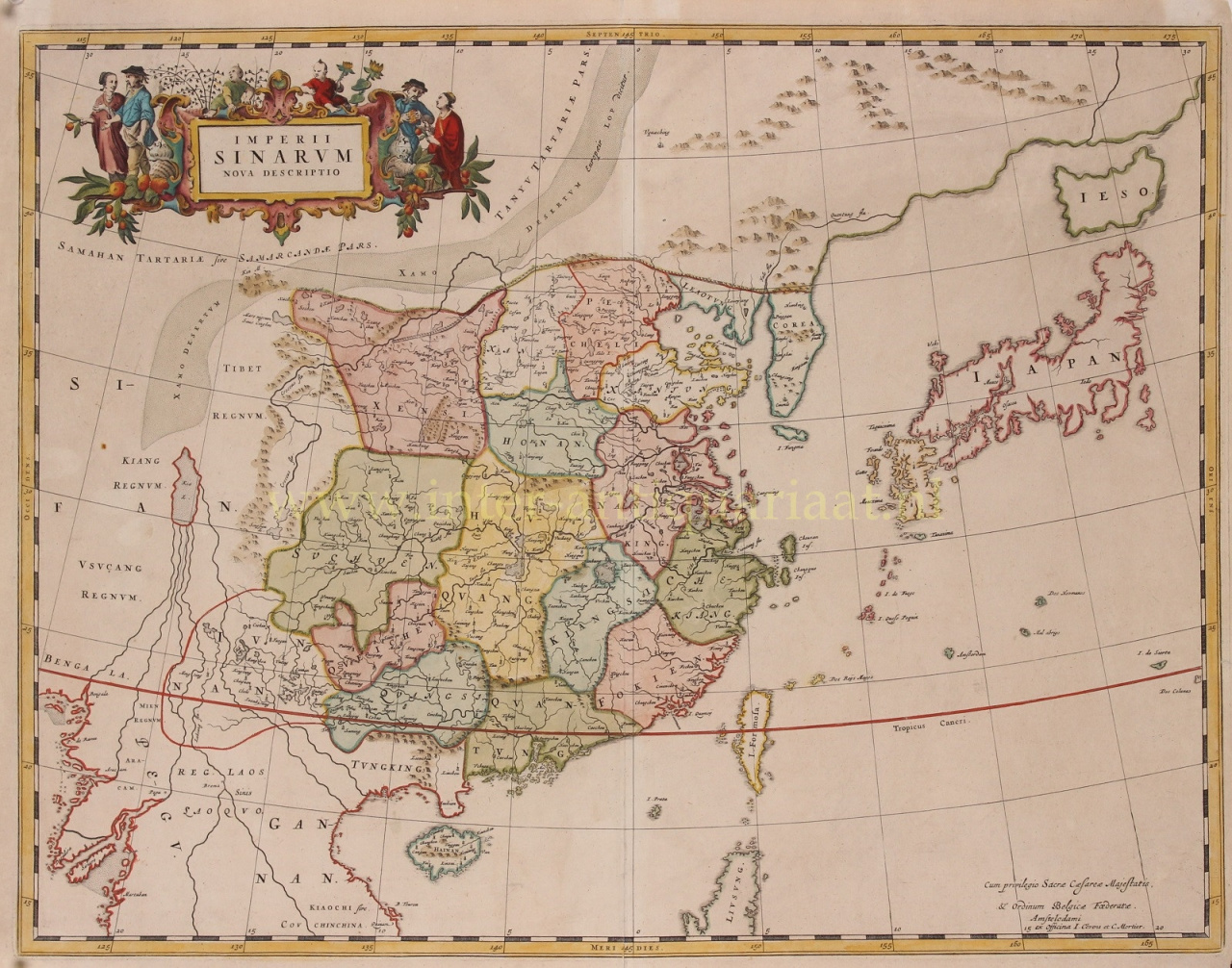
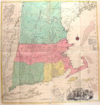
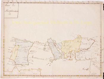
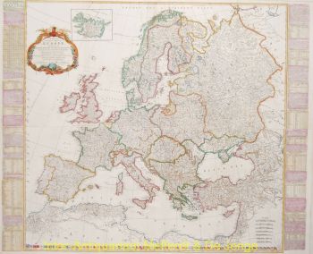
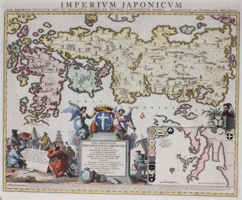
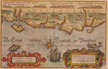
    Covens et Mortier (1721 - c. 1862) était une maison d'édition d'Amsterdam, le successeur du vaste empire de l'édition construit par Pierre Mortier (1661 - 1711).

    La carte de Covens et Mortier est souvent critiquée comme dérivée - mais ce n'est pas tout à fait le cas. Pierre Mortier vécut à Paris de 1681 à 1685. Il y noua des relations étroites avec les plus grands cartographes français de l'époque, dont De L'Isle et D'Anville.

    Son modèle commercial reposait sur l'utilisation de la technologie et de la sophistication de l'impression néerlandaise pour copublier une cartographie française de pointe. A la mort de Mortier en 1711, son entreprise est reprise par son fils, Cornelius Mortier (1699 - 1783). Cornelius épousa la sœur de Johannes Covens (1697 - 1774) en 1721 et, en partenariat avec son beau-frère, fonda la société Covens et Mortier.

    Sous l'empreinte Covens et Mortier, Cornelius et Johannes ont continué dans le modèle de Pierre de publier les œuvres françaises les plus récentes avec permission. Ils sont rapidement devenus l'une des entreprises d'édition néerlandaises les plus importantes et les plus prolifiques du XVIIIe siècle.

    L'entreprise et ses successeurs ont publié des milliers de cartes sur une période de 120 ans, de 1721 au milieu des années 1800. Au cours de leur longue vie, la firme Covens and Mortier a publié sous les noms de Covens and Mortier (1721 - 1778), J. Covens and Son (1778 - 94) et Mortier, Covens and Son (1794 - c. 1862).

Êtes-vous intéressé par l'achat de cette oeuvre?

Artwork details

Catégorie
Sujet
Matériel & technique