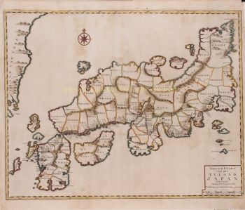
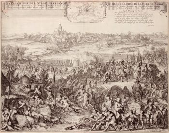
Johann Baptist Homann (1664-1724) was een vooraanstaande Duitse cartograaf, graveur en uitgever uit het begin van de 18e eeuw, algemeen beschouwd als een van de meest invloedrijke cartografen van zijn tijd. Geboren in Oberkammlach in Beieren, volgde hij aanvankelijk onderwijs aan een jezuïetenschool voordat hij zich bekeerde tot het protestantisme – een beslissing die zowel zijn persoonlijke als professionele levenspad zou bepalen.Johann Baptist Homann (1664-1724) was een vooraanstaande Duitse cartograaf, graveur en uitgever uit het begin van de 18e eeuw, algemeen beschouwd als een van de meest invloedrijke cartografen van zijn tijd. Geboren in Oberkammlach in Beieren, volgde hij aanvankelijk onderwijs aan een jezuïetenschool voordat hij zich bekeerde tot het protestantisme – een beslissing die zowel zijn persoonlijke als professionele levenspad zou bepalen.
Homann begon zijn carrière als notaris in Neurenberg in 1687, maar verlegde al snel zijn focus naar graveren en cartografie, gedreven door een groeiende interesse in geografie en de visuele weergave van kennis. Na een vormende periode in Wenen tussen 1693 en 1695 keerde hij terug naar Neurenberg, waar hij in 1702 zijn eigen uitgeverij oprichtte. Dit markeerde het begin van een zeer productieve en invloedrijke carrière.
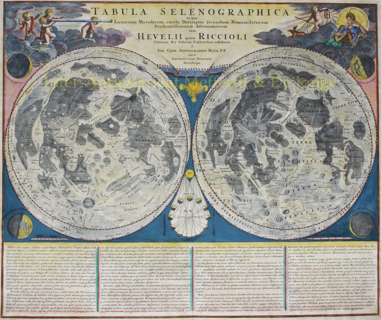
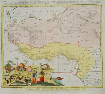
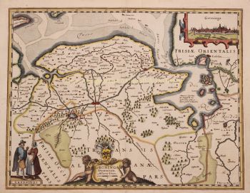
Zijn kaarten werden al snel geroemd om hun precisie, helderheid en decoratieve rijkdom, waarbij wetenschappelijke nauwkeurigheid werd gecombineerd met uitgebreide barokke ornamenten. De reputatie van Homann leidde ertoe dat hij in 1715 door keizer Karel VI werd benoemd tot keizerlijk geograaf. Later werd hij verkozen tot lid van de Pruisische Academie van Wetenschappen in Berlijn – een erkenning voor zijn bijdrage aan de vooruitgang van de geografische kennis.
In 1716 publiceerde Homann zijn beroemdste werk, de Grosser Atlas über die ganze Welt (Grote Atlas van de hele wereld), een omvangrijke en ambitieuze verzameling kaarten die zijn nalatenschap bevestigde. Veel van deze werken werden gemaakt in samenwerking met graveur Christoph Weigel de Oudere. Door zijn uitgeverij en cartografische productie speelde Homann een centrale rol in de vestiging van Neurenberg als belangrijk centrum voor kaartproductie in Europa.