Seventeen Provinces  by Willem Janszoon Blaeu
Scroll to zoom, click for slideshow

Zeventien Provinciën 1630

Willem Janszoon Blaeu

€ 2.350

Inter-Antiquariaat Mefferdt & De Jonge

  • Over kunstwerk
    FAMOUS MAP OF THE SEVENTEEN PROVINCES IN A RARE SECOND STATE “Novus XVII Inferioris Germaniæ Provinciarvm Typvs de integro multis in locis emendatus à Guliel. Blaeu.” Copper enrgaving made by Josua vanden Ende, here in its rare 2nd state (the first without town views) published by Willem Bleau in 1630 as part of the “Atlas Appendix”. Verso: blank. Size: approx. 39,8 x 50,1 cm. The bottom right shows a cartouche with scale bar and the address of Willem Blaeu: "op 't Water in de Vergulde Zonnewyzer" [current day Damrak in Amsterdam]. On the left a cartouche a list of towns and villages per province and a legend of the symbols used. In the North Sea we see a 32-piece compass rose, a sea monster and many ships. The Fall of Antwerp in 1585 caused a de facto separation between the Northern and Southern Netherlands and the seventeen provinces split into two parts. A border arose whereby the Seventeen Provinces were split into the Republic of the Seven United Netherlands and the Southern Netherlands. Because of emigration and a change in the political situation, the economic center of The Netherlands shifted to the north. The Dutch Revolt against the Spaniards continued and meanwhile religion divided the entire continent into two parts. All of Europe was now at war, and conflicts were not resolved until the Peace of Münster in 1648. In the treaty Dutch Republic was recognized by Spain as sovereign state. At that time, the separation of the northern and southern Netherlands was a fact. Nevertheless, maps of the Seventeen Provinces regularly occur up to about 1800. This was partly beacause of the enormous costs for the fieldwork and engraving that came with the production of new maps, but was also due to the unclear borders of the area in the east and south of the Dutch Republic. Reference: H.A.M. van der Heijden “Oude kaarten der Nederlanden, 1548-1794", map 64.2 Price: Euro 2.350,- (incl. frame)
  • Over kunstenaar

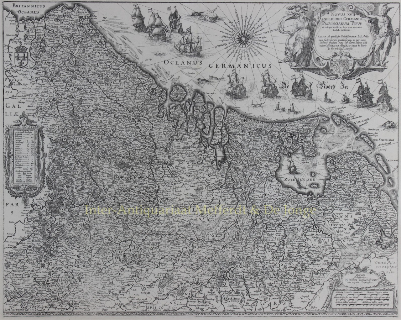
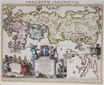
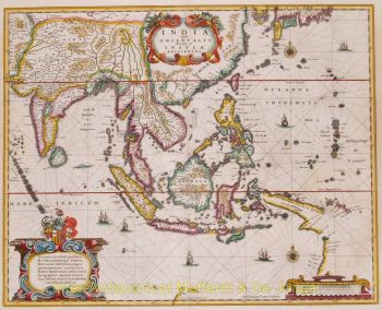
    "Willem Janszoon Blaeu en zijn zoon Joan belichaamden de 'gouden eeuw' van de Nederlandse cartografie. Tijdens zijn werk in de zeventiende eeuw tekende Willem Blaeu een aantal baanbrekende kaarten en publiceerde hij de eerste atlas.

    Hij werd in 1571 in Amsterdam geboren en werkte aanvankelijk als klerk in de familieharinghandel. Hij was echter niet gelukkig met zijn beroep en verliet het huis in 1594 om wiskunde te studeren bij Tycho Brahe, de beroemde astronoom. Blaeu was een goede leerling die veel indruk maakte op zijn leermeester, en toen zijn studie was afgerond keerde hij terug naar Amsterdam en vestigde zich als kaartenmaker. Zijn bedrijf floreerde en zijn reputatie groeide. Hij was de eerste kaartenmaker die losse kaarten van veel Europese landen produceerde.

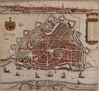
    In 1605 maakte hij een wandkaart van de wereld, bestaande uit 20 bladen, elk 8 voet breed. Deze kaart was verreweg de meest nauwkeurige van die periode en leverde een uitstekende bijdrage aan de kennis van de wereldgeografie.

    Zijn kaart bleef de meest nauwkeurige tot 1648, toen zijn zoon, Joan, die ook een beroemde kaartenmaker werd, hem bijwerkte. Maar zijn grootste prestatie was de productie van de eerste atlas in 1630. De naam Blaeu was eigenlijk een familiebijnaam die Willem aannam nadat er verwarring was ontstaan tussen hemzelf en zijn grote rivaal Joannes Jansonius.'

Bent u geïnteresseerd om dit kunstwerk te kopen?

Artwork details