Nicolaes era o único filho de Claes Jansz. Pescador. Ele também é conhecido pelos nomes: Nicolaas ou Claes Claesz. Depois de anos trabalhando para seu pai no negócio, ele o sucedeu após sua morte em 1652. Em 1662 ele foi admitido na guilda dos livreiros de Amsterdã e em 1677 Nicolaes, agora um respeitado editor, recebeu uma patente de 15 anos dos estados da Holanda e da Frísia Ocidental para a impressão e publicação de mapas. Ele morreu dois anos depois e foi enterrado na mesma capela que seu pai.
As edições do Atlas de Nicolaes I incluíram:
"Atlas Contractus Orbis Terrarum" de 1657.
“Germânia Inferior” de 1663.
“Atlas Menor” de 1675.
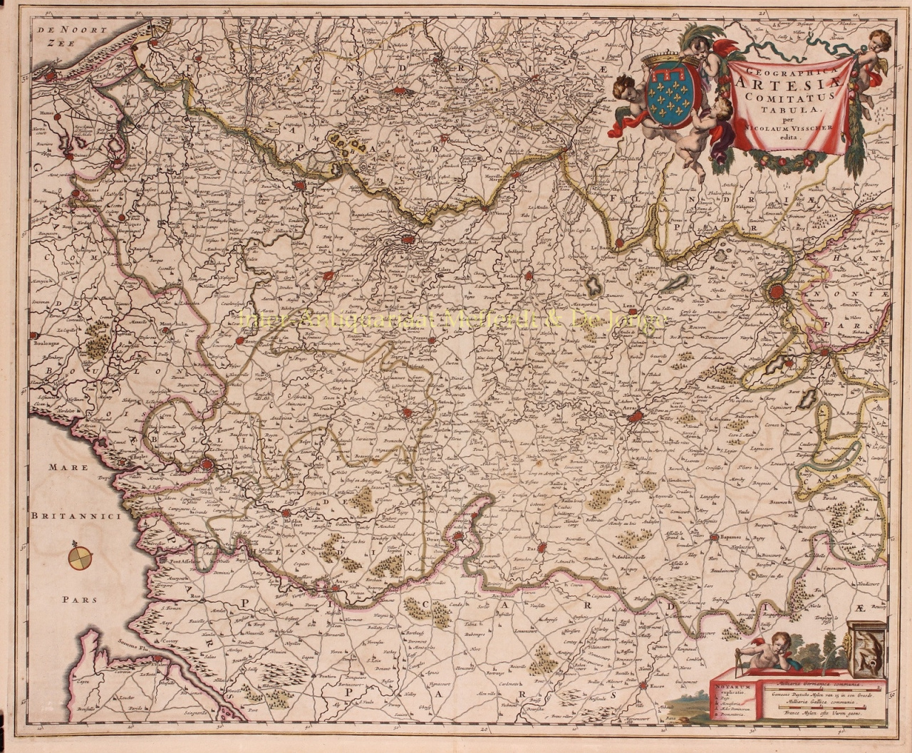
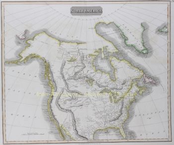
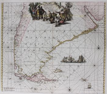
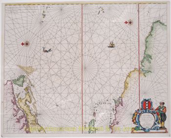
Os atlas de Visscher eram frequentemente compilados de acordo com os desejos dos compradores (o chamado Atlas Contractus). Eles geralmente não contêm texto, apenas às vezes um índice impresso. Cartões de outros fabricantes foram usados, autogravados e trabalhados em placas de cobre de seu pai.
Um dos destaques da cartografia do século XVII é o mapa de parede de várias páginas. Exemplo disso - de 1656 - é o mapa da Zelândia: “Zelandiae Comitatus novissima Tabula”. Este consistia em nove folhas que juntas tinham um tamanho de 140 x 160 cm. Ao adicionar paisagens urbanas, o mapa pode ser ampliado ainda mais. Essas paisagens urbanas foram, por sua vez, publicadas por volta de 1668 sob o nome: “Speculum Zelandiae”.