Joan Blaeu (1596-1673), est née le 23 septembre 1596 à Alkmaar.
C'était un cartographe néerlandais né à Alkmaar. Il a suivi les traces de son père, le cartographe Willem Blaeu.
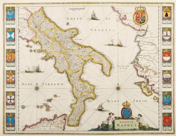
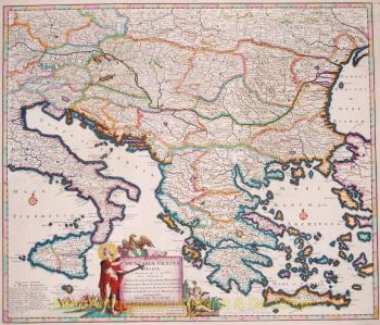
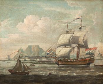
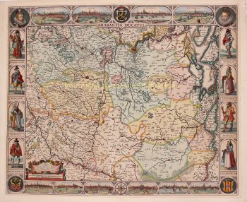
En 1620, il devient docteur en droit mais il rejoint l'œuvre de son père. En 1635, ils publient l'Atlas Novus (titre complet : Theatrum orbis terrarum, sive, Atlas novus) en deux volumes. Joan et son frère Cornelius ont repris l'atelier après la mort de leur père en 1638. Joan est devenu le cartographe officiel de la Compagnie néerlandaise des Indes orientales.
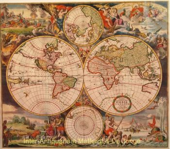
La carte du monde de Blaeu, Nova et Accuratissima Terrarum Orbis Tabula, incorporant les découvertes d'Abel Tasman, a été publiée en 1648. Cette carte était révolutionnaire en ce qu'elle "représente le système solaire selon les théories héliocentriques de Nicolas Copernic, qui montrent la terre tournant autour le soleil... Bien que le livre révolutionnaire de Copernic Sur les révolutions des sphères ait été imprimé pour la première fois en 1543, un peu plus d'un siècle plus tôt, Blaeu fut le premier cartographe à incorporer cette théorie héliocentrique révolutionnaire dans une carte du monde."
La carte de Blaeu a été copiée pour la carte du monde placée dans le trottoir du Groote Burger-Zaal du nouvel hôtel de ville d'Amsterdam, conçu par l'architecte néerlandais Jacob van Campen (aujourd'hui le palais royal d'Amsterdam), en 1655.
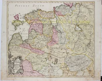
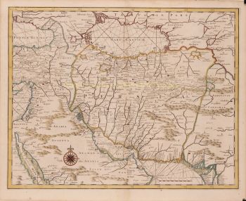
La Hollandia Nova de Blaeu a également été représentée dans son Archipelagus Orientalis sive Asiaticus publié en 1659 dans le Kurfürsten Atlas (Atlas du Grand Électeur). et utilisé par Melchisédech Thévenot pour produire sa carte, Hollandia Nova—Terre Australe (1664).
Sous le nom de "Jean Blaeu", il a également publié le 12 volume "Le Grand Atlas, ou Cosmographie blaviane, en laquelle est exactement décrite la terre, la mer, et le ciel". Une édition est datée de 1663. Elle était in-folio (540 x 340 mm) et contenait 593 cartes et planches gravées. En mars 2015, un exemplaire était en vente pour 750 000 £.
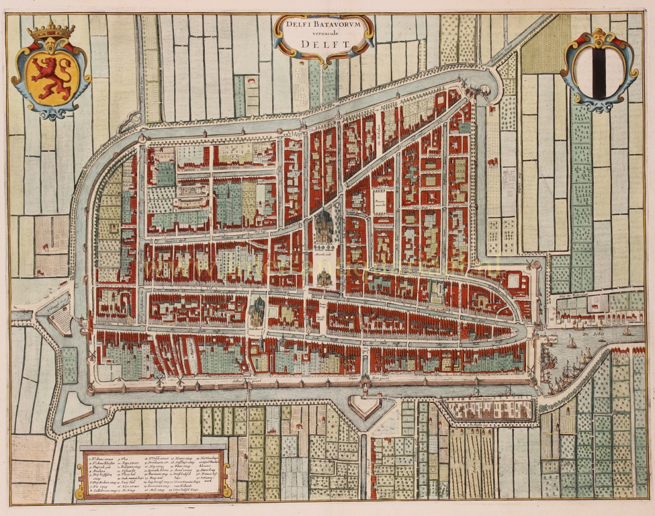
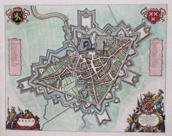
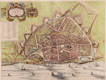
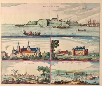
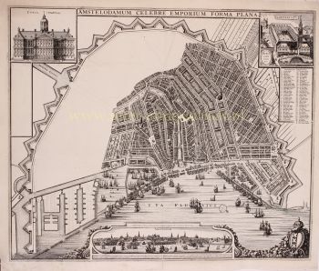
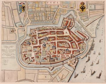
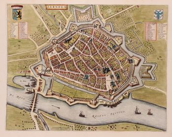
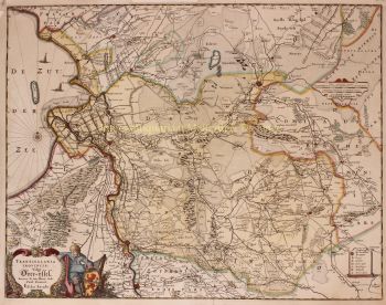
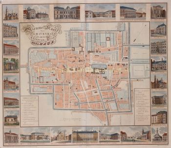
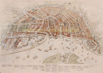
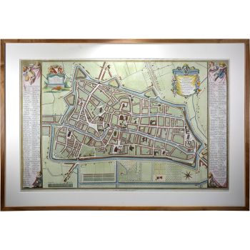
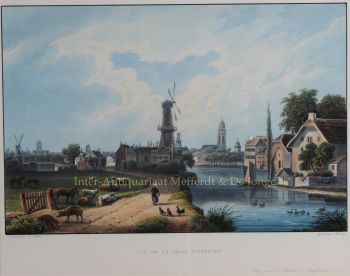
Vers 1649, Joan Blaeu publia une collection de cartes de villes hollandaises nommée Toonneel der Steeden (Vues de villes). En 1651, il fut élu au conseil d'Amsterdam. En 1654, Joan publie le premier atlas de l'Écosse, conçu par Timothy Pont. En 1662, il réédita l'Atlas Novus, également connu sous le nom d'Atlas Maior, en 11 volumes, et un pour les océans.
Une cosmologie était prévue comme projet suivant, mais un incendie détruisit complètement l'atelier en 1672.
Joan Blaeu mourut à Amsterdam l'année suivante, 1673. Il fut enterré dans la Westerkerk à Amsterdam.