Mappa del mondo 1587
Abraham Ortelius
€ 5.500
Inter-Antiquariaat Mefferdt & De Jonge
- A proposito di opere d'arteONE OF THE GREAT WORLD MAPS OF ALL TIME "Typus Orbis Terrarum." Copper engraving from Theatrum Orbis Terrarum. Published by Arbraham Ortelius of Antwerp from 1587 onwards. With original (?) hand colouring. Size: 35,5 x 48,5 cm. One of the most famous of world maps, from Ortelius' great work, Theatrum Orbis Terrarum. Initially published in 1570, this volume was the first that could truly be called an ‘atlas’ in the modern sense of a compilation of maps engraved to a uniform format according to the most up-to-date information available. The publication of the Theatrum also marked the inauguration of the era of Dutch supremacy in cartography. For these and other reasons, Abraham Ortelius is called the "father of modern cartography." This particular map is based upon Gerard Mercator's large world map of 1569. Ortelius' atlas project had the blessing and aid of Mercator, who supplied Ortelius with coordinates of places in America. Although the map appears rather erroneous to modern eyes, it actually contains some of the best compilation work of the period, which was a hallmark of mapmaking in the sixteenth century. In the north, islands are shown surrounding the North Pole, and separated from America and Asia by a sea passage, the latter being a popular belief in the sixteenth century. In the south, a large "Terra Australis Nondum Cognita" is drawn, separated from South America by the "Estrecho di Magallanes." “From surviving correspondence it is known that Mercator generously encouraged Ortelius to make use of his published corpus of research; he also provided him with coordinates of places in America and perhaps elsewhere.” – Shirley In 1587 Ortelius updated this seminal map for the third and last time. South America now assumes a more accurate shape, and the Solomon Isles are marked for the first time. The updated map is also distinctive and especially beautiful for the four medallions in the corners with classical texts, two from Cicero and two from Seneca. The border of this map is altered as well, now with a more intricate and elegant lattice of strapwork and swag. Altogether with the embellishments, rich colour and important information, one of the great world maps of all time. Literature: “Ortelius atlas maps”, Marcel van den Broecke, Ort3; “The Mapping of the World”, Rodney Shirley, no. 158, plate 130. Price: Euro 5.500,- (incl. frame)
- A proposito di opere artista
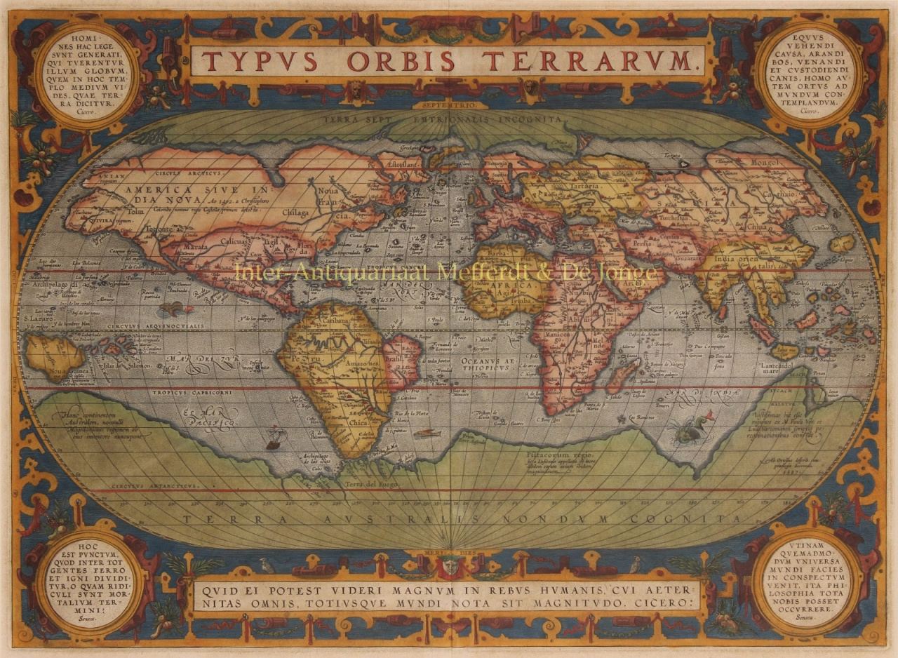
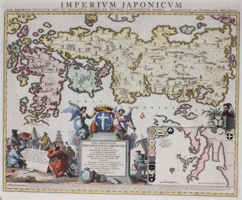
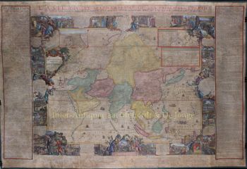
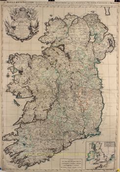
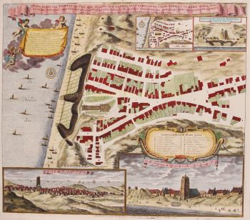
Abraham Ortelius (1527–1598) fu un cartografo e geografo fiammingo, ampiamente considerato il creatore del primo atlante moderno e uno dei cartografi più influenti della storia. La sua rivoluzionaria pubblicazione, Theatrum Orbis Terrarum (Teatro del Mondo), segnò una svolta nel modo in cui la conoscenza geografica veniva raccolta, standardizzata e presentata.
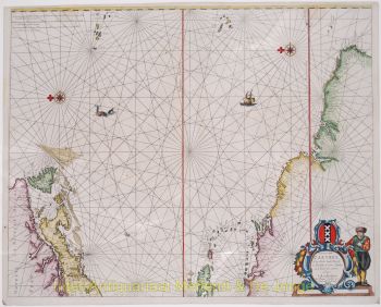
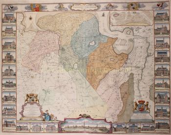
Pubblicato per la prima volta nel 1570, Theatrum Orbis Terrarum fu rivoluzionario sia nel concetto che nell'esecuzione. A differenza delle precedenti raccolte di mappe, l'atlante di Ortelius offriva una panoramica coerente e sistematica del mondo conosciuto, con mappe di dimensioni, stile e qualità uniformi, accompagnate da commenti accademici. Questo approccio trasformò la cartografia da un'arte frammentata a una disciplina scientifica e culturale strutturata, rendendo la geografia globale accessibile a studiosi, mercanti e statisti.
Ortelius visse e lavorò durante l'età d'oro della cartografia olandese, un periodo in cui i progressi nell'esplorazione, nella stampa e nel commercio rimodellarono la comprensione del mondo da parte dell'Europa. Insieme a Gerardo Mercatore, Ortelio è considerato uno dei padri fondatori della scuola cartografica olandese. Mentre Mercatore rivoluzionò la proiezione cartografica, Ortelio eccelleva nella sintesi, riunendo le migliori conoscenze geografiche disponibili in un'unica opera autorevole.
Oltre ai suoi successi tecnici, Ortelio fu un pensatore umanista con un profondo interesse per la storia, l'antichità classica e gli scambi culturali. Mantenne una vasta rete internazionale di studiosi, esploratori e cartografi, attribuendo scrupolosamente la paternità alle fonti, una pratica insolita e progressista per la sua epoca. Questa integrità accademica contribuì in modo significativo alla credibilità e all'influenza duratura della sua opera.
L'eredità di Abraham Ortelio non risiede solo nelle sue mappe, ma nella sua visione del mondo come un tutto interconnesso. Il suo atlante ha plasmato la visione del mondo europea per generazioni e ha gettato le basi per la cartografia moderna, assicurandogli un posto tra le grandi figure intellettuali del Rinascimento.
Sei interessato ad acquistare questa opera d'arte?
Artwork details
Related artworks
- 1 - 4 / 6
- 1 - 4 / 24
- 1 - 4 / 12


