Amstelland  by Covens and Mortier
Scroll to zoom, click for slideshow

Amstelland 1749

Covens and Mortier

Stampa
52 ⨯ 64 cm
€ 1.950

Inter-Antiquariaat Mefferdt & De Jonge

  • A proposito di opere d'arte
    Carte Particuliere d'Amstelland ou les Environs d'Amsterdam, Muyden, Weesp, Naarden &c. / PARTICULIERE KAART VAN AMSTELLANDT of het omleggende van Amsterdam, Muyden, Weesp, Naarden &c. [special map of the Amstelland area, or the surroundings of Amsterdam, Muiden, Weesp, Naarden, etc.) Copper engraving published in 1749 by Johannes Covens and Cornelis Mortier in Amsterdam. Coloured by a later hand. Size: 52 x 64,5 cm. This map shows the area south of Amsterdam where peat extraction has been taking place since about 1530. The increasing population and shrinking forest area had created a growing demand for peat as fuel. Entire villages perished from starvation for fuel. (See the "Geweeze Dorp Tamen -former village Tamen- north of Uithoorn.) The peat was dredged from below the water level and dried and processed on the narrow so called legakkers. The puddles created by peat (indicated on the map by with a frayed edge) are clearly visible at the bottom left of the map. Bijlmermeer, Naardermeer, Horstermeer and Haarlemmermeer (with smooth banks) on the other hand, were originally natural lakes in the peat area. Of all these ponds and lakes, only the Naardermeer is still a wetland. Literature: Donkersloot-De Vrij "De Vechtstreek" (1985), pp 110-111 Heinemeijer/Wagenaar "Amsterdam in kaarten" (1987), pp 98-101. Price: Euro 1.950,- (incl. frame)  
  • A proposito di opere artista

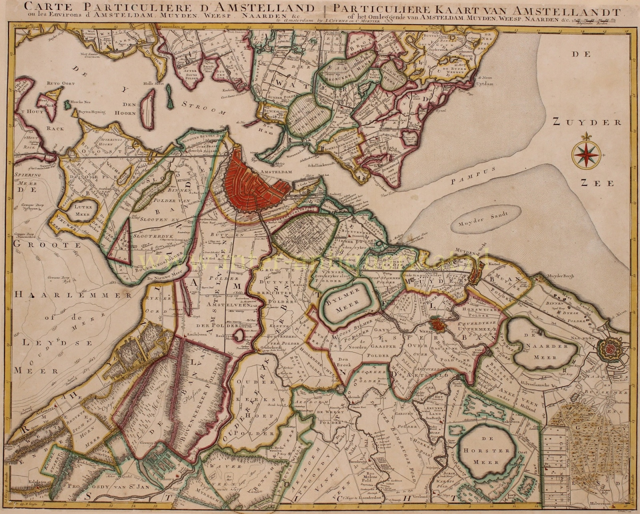
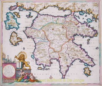
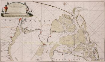
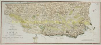
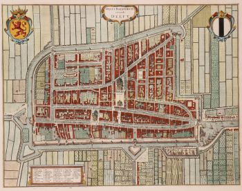
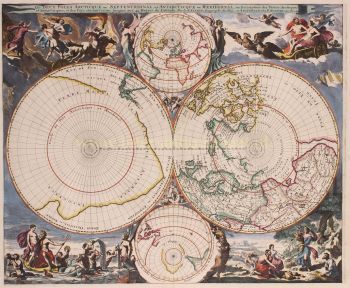
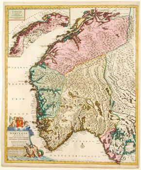
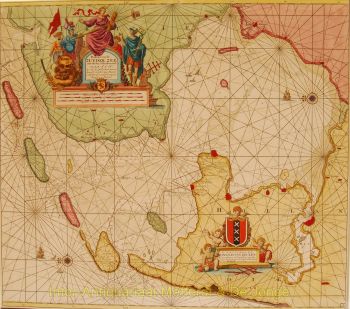
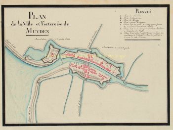
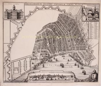
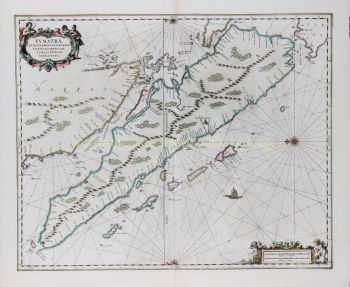
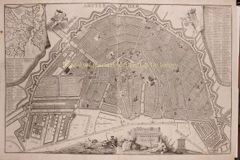
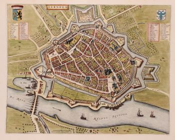
    Covens and Mortier (1721 - c. 1862) era una casa editrice di Amsterdam, successore del vasto impero editoriale costruito da Pierre Mortier (1661 - 1711).

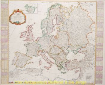
    Le mappe di Covens e Mortier sono spesso criticate come derivate, ma non è del tutto vero. Pierre Mortier visse a Parigi dal 1681 al 1685. Lì stabilì stretti rapporti con i più grandi cartografi francesi dell'epoca, tra cui De L'Isle e D'Anville.

    Il suo modello di business si basava sullo sfruttamento della tecnologia e della raffinatezza della stampa olandese per co-pubblicare cartografia francese all'avanguardia. Alla morte di Mortier nel 1711 la sua azienda fu rilevata dal figlio, Cornelius Mortier (1699 - 1783). Cornelius sposò la sorella di Johannes Covens (1697 - 1774) nel 1721 e, in collaborazione con suo cognato, fondò lo studio Covens and Mortier.

    Sotto l'impronta di Covens e Mortier, Cornelius e Johannes continuarono nel modello di Pierre di pubblicare le opere francesi più aggiornate con il permesso. Divennero rapidamente una delle più grandi e prolifiche aziende editoriali olandesi del XVIII secolo.

    L'azienda ei suoi successori hanno pubblicato migliaia di mappe in un periodo di 120 anni dal 1721 alla metà del 1800. Durante la loro lunga vita la ditta Covens and Mortier pubblicò come Covens and Mortier (1721 - 1778), J. Covens and Son (1778 - 94) e Mortier, Covens and Son (1794 - c. 1862).

Sei interessato ad acquistare questa opera d'arte?

Artwork details

Categoria
Soggetto
Materiale e Tecnica