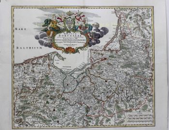
Norvegia Regnum Divisum in suos Diocaeses Nidrosiensem, Bergensem, Opsloensem, et Stavangriensem. Et Praefecturam Bahusiae. Engraved double-page map in beautiful original colour, published in Amsterdam approx. 1696 by Cornelis Danckerts. The southern part of Norway with an inset map of northern Norway in the upper left corner showing "Norvegiae Pars Septentrionalis Comprehendens Finmarchiam sive Praefecturam Wardhusiae ac Saltensem"?. The map is embellished by a depiction of Neptune and a mermaid below the title cartouche, crowned with the Norwegian coat of arms. The Danckerts family were notable print and map sellers, and engravers in Amsterdam for nearly a hundred years, between 1630 and 1727. Between 1680 and 1700, Justus an his three sons Cornelis, Theodorus, Justus II published several editions of their Danckerts Atlas. Their maps were in demand for the wonderful decorative quality of their engraving rather than for their accuracy. Splendid rare map in fine condition. Narrow margins, as issued. Small unobtrusive crease in lower right corner. Size: 58 x 50 cm. Price: Euro 850,-